
 English
 Français
 Español
 Deutsch
 Português
 Italiano
 العربية
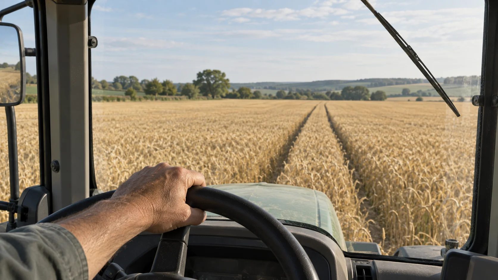
Precision agriculture is a way of farming that treats a field as many small areas instead of one uniform block. It measures how soil, water, crop growth and yield change from one part of the field to another, and then adjusts seed, fertilizer, water and spraying to fit each part. The goal is easy to state: put each input where it does some good, in the amount that spot actually needs.
What makes it workable today is a set of technologies farmers have added one piece at a time since the 1990s: satellite positioning, yield monitors, aerial imagery, in-field sensors and the software that ties the readings together. Some of it is expensive and built into large machines. Some of it costs less than a set of tractor tires. Which pieces pay off depends mostly on how much your fields vary, and that's what the rest of this article helps you judge.
In short
- Precision agriculture manages variation inside a field: measure it, map it, then change inputs to match.
- The core technology is satellite positioning, sensing (yield monitors, imagery, soil and weather sensors) and variable-rate control on machines.
- Smaller farms can start with low-cost tools such as free satellite imagery, zone soil sampling and wireless field sensors.
- Software turns the readings into decisions, and it comes in three kinds: farm records, prescription and imagery tools, and live monitoring.
What technology is used in precision agriculture?
It helps to think in three layers: knowing where you are, knowing what's there, and acting differently in different places.
Positioning comes first. A GNSS receiver (global navigation satellite system, the family that includes GPS and Galileo) on the tractor records where every pass happened. On its own, a receiver is accurate to a few meters, which isn't enough to drive between crop rows. RTK correction (real-time kinematic), from a base station on the farm or a correction network, brings that down to about one or two centimeters. That level of accuracy is what auto-steer uses to drive straight, parallel passes without gaps or overlaps. The USDA's Economic Research Service reports that guidance auto-steering was used by 70 percent of large-scale crop-producing farms in the United States in 2023, up from single digits in the early 2000s.
Sensing is the second layer. A yield monitor on a combine measures grain flow every second and attaches each reading to a position, so after harvest you get a yield map that shows which parts of the field produced well and which didn't. Satellite and drone imagery add a view during the season. The most common index, NDVI (normalized difference vegetation index), compares the near-infrared and red light a crop reflects. Dense, healthy leaves reflect a lot of near-infrared and absorb red, so thin or stressed patches stand out on the map, often before they're obvious from the field edge. Grid or zone soil sampling, soil conductivity mapping and in-field sensors for moisture, temperature and rainfall fill in what's happening below and around the plants.
Acting is the third layer. Variable-rate technology (VRT) lets a seeder, spreader or sprayer change its rate as it moves, following a prescription map built from the first two layers. Section control switches off individual boom sections or planter rows over ground that's already covered, such as headlands and the point rows at odd field corners.
To see how the layers combine, take a 40-hectare wheat field. The numbers below are an example, not a recommendation. Five years of yield maps show a sandy knoll of 10 hectares that always yields poorly, and a low, heavier 8-hectare strip that yields best. An agronomist suggests less nitrogen on the knoll, where the crop can't use it, and a little more on the strong ground.
| Zone | Area | Flat rate | Variable rate |
|---|---|---|---|
| Sandy knoll | 10 ha | 160 kg N/ha (1,600 kg) | 120 kg N/ha (1,200 kg) |
| Main field | 22 ha | 160 kg N/ha (3,520 kg) | 160 kg N/ha (3,520 kg) |
| Heavy low ground | 8 ha | 160 kg N/ha (1,280 kg) | 180 kg N/ha (1,440 kg) |
| Total | 40 ha | 6,400 kg | 6,160 kg |
The total saving here is only 240 kg, about 4 percent. The bigger change is where the nitrogen ends up: 400 kg less on ground that would have lost it, and 160 kg more where the crop can turn it into grain.
Precision agriculture tools for small farms
The usual picture of precision agriculture is a large combine with a screen in the cab. Many of the useful tools are smaller and cheaper than that, and some are free. The table below lists common entry points, roughly in order of cost.
| Tool | What it tells you | Effort to start |
|---|---|---|
| Free satellite imagery (for example the EU's Sentinel-2) | Crop vigor across every field, every few days when skies are clear | Low: a free viewer or app |
| GPS scouting app on a phone | Exact positions of weeds, pests, wet spots and damage | Low |
| Zone soil sampling | Nutrient and pH differences between parts of a field | Moderate: lab fees per sample |
| Wireless soil and weather sensors | Moisture, soil temperature and rainfall, measured continuously | Moderate: sensors plus one gateway |
| Aftermarket guidance or auto-steer kit | Straight passes, less overlap, less operator fatigue | Higher, and more with RTK |
Sentinel-2 imagery has a resolution of 10 meters for its visible and near-infrared bands, so each pixel covers 100 square meters. That's coarse for a vegetable bed but fine for spotting a weak patch in a cereal field.
Wireless field sensors have become far more practical in the last few years because of low-power radio networks such as LoRaWAN and mioty. A sensor sends a few bytes every 15 minutes or so, runs on a battery for years, and reaches a gateway several kilometers away. One gateway at the farmyard can often cover the surrounding fields, so you don't run cables or pay for a data plan per sensor. A field that used to be checked by driving out to it can report its soil moisture to your phone.
The order of steps counts as well. A common path is to start with imagery and yield maps to find the zones, confirm them with soil samples, then put sensors in the zones that behave differently, and only then pay for variable-rate equipment once you know the variation is large enough to justify it.
What does precision agriculture software do?
Precision agriculture software falls into three groups, and many farms end up using one from each.
Farm management information systems (FMIS) keep the records: fields and their boundaries, crops, operations, inputs applied, and the paperwork that subsidy schemes and buyers ask for. Prescription and imagery tools take yield maps, soil samples and satellite data and turn them into variable-rate maps. Those maps travel to the tractor terminal, often as ISOBUS task data (ISO 11783), the standard that lets tractors, implements and terminals from different makers exchange data.
The third group is live monitoring. It collects readings from sensors and equipment as they arrive and tells someone when a reading needs attention, whether that's soil drying out in one zone, frost forming in a low corner or a fuel tank dropping overnight. Kilo handles this part for farms: LoRaWAN sensors from different manufacturers report into one place, readings appear on dashboards that you can arrange per field, and a rule can raise an alarm that escalates from the person on duty to the farm manager if nobody resolves it. The same setup reaches beyond the fields to fuel tanks and grain bins, which is how IoT monitoring in agriculture usually grows on a farm.
The three groups overlap less than vendor brochures suggest. Records software looks back at what was done, prescription tools plan the next pass, and monitoring reports what's happening in the field today, so when you compare products, check which of those jobs each one is actually built for.
How does precision agriculture help the food industry?
The link between precision agriculture and the food industry runs through three things buyers care about: consistent supply, records they can trust and a smaller environmental footprint.
Consistency comes from managing the weak parts of a field instead of averaging them out. A processor buying wheat for a particular flour, or potatoes of a certain size for fries, wants less variation in protein, size and dry matter. Zone management doesn't remove weather risk, but it reduces the spread between the best and worst parts of a field.
Records come almost for free once machines log positions and rates. When every application is tied to a field, a date and a quantity, a farm can answer a buyer's questions about what went onto a crop without reconstructing it from memory and receipts.
The footprint question is getting louder. Under the GHG Protocol, the emissions from growing a company's raw materials count toward its Scope 3 emissions, the indirect emissions in its value chain. For most food companies, farming is a large share of that total, so they now ask suppliers about fertilizer use and practices. Nitrogen that stays in the soil and feeds the crop doesn't turn into nitrous oxide or run off into water. Water matters too: according to FAO's AQUASTAT, agriculture accounted for about 72 percent of global freshwater withdrawals in 2022, most of it for irrigation. Irrigating by measured soil moisture instead of by the calendar is one of the most direct ways precision agriculture touches that number.
None of this guarantees a higher price for a precision-farmed crop, but buyers increasingly ask for the data a farm already collects for its own decisions.
Precision agriculture FAQ
When did precision agriculture start?
The ideas go back decades, but the practice took off in the 1990s when commercial yield monitors and GPS receivers made it possible to map yield inside a field. Variable-rate application and auto-steer followed as positioning became more accurate and receivers cheaper. Adoption grew slowly at first and has climbed steeply since the 2000s.
Is precision agriculture worth it on a small farm?
It can be, but the payback depends on how variable your fields are and how much you spend on inputs. USDA survey data shows adoption rises sharply with farm size, mostly because expensive equipment spreads its cost over more hectares. Low-cost tools such as imagery, zone sampling and a few sensors avoid that problem.
What is the difference between precision agriculture and smart farming?
Precision agriculture is specifically about managing variation within fields and herds through measurement and targeted inputs. Smart farming is a broader term for connected technology across a whole farm, including storage, buildings, machinery and logistics. Most precision agriculture practices count as smart farming, but not the other way around.
Does precision agriculture need internet in the field?
Not necessarily. RTK corrections can come from your own base station by radio, and terminals store prescriptions locally. Low-power sensor networks send readings to a gateway at the farmyard, which needs an internet connection for cloud software, so only that one point needs coverage.
To try this on one field, pick the field your yield maps say is most uneven and put two soil moisture sensors in its weakest zone and two in its strongest, plus a rain gauge nearby. Those five devices fit Kilo's free plan, with one dashboard comparing the two zones and an alert when the weak zone dries below a level you choose. The free plan keeps the last day of readings, which is enough for the alert. To see over a dry spell whether the weak zone dries out faster than the strong one and by how much, the Starter plan at €25 a month keeps a week of readings. Kilo Electronics stocks soil moisture sensors for a setup like this, though hardware from any compatible supplier works.